Are you stuck in a hiker’s version of Groundhog Day, hitting up the same Boulder trails over and over and over again? If so, then it might be time to head to nearby Jefferson County and mix things up. Only 45 minutes from Boulder, Jefferson County Open Space is comprised of 54,000 acres of land and 230 miles of trails. When you’re itching to explore new terrain, JeffCo is the place to go.
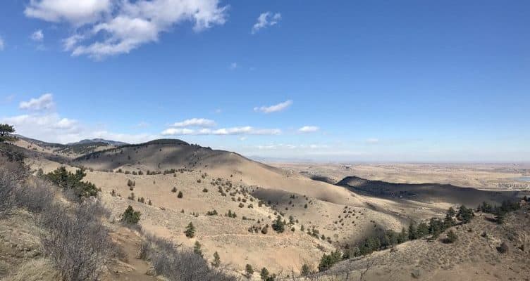
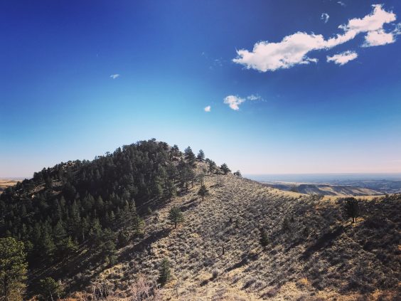
Mount Galbraith Park, nestled between Golden Gate Canyon and Clear Creek Canyon, is one of Jefferson County’s many gems. It boasts 5 miles of “hiker-only” trails with moderate elevation gain on 945 acres of protected land. From these trails, enjoy sweeping views of North and South Table Mountains, Denver, and the Continental Divide. There’s also plenty to see right in the park, from the abundant wildlife to funky-looking trees and gravity-defying boulders.
If your hiking repertoire demands a change of scenery, Mount Galbraith Park is worth the trip. Read on for everything you need to know about exploring this Jefferson County Open Space property.
Get there
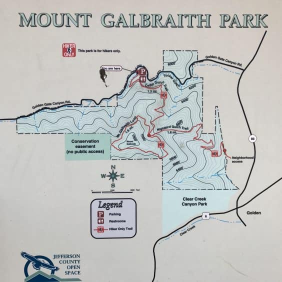
To access the main trailhead for Mount Galbraith Park, head south on Highway 93 to Golden Gate Canyon Road. Turn right (west) and follow Golden Gate Canyon Road for approximately 1.5 miles to the parking lot. The GPS address is 21992 Golden Gate Canyon Road.
As always, be sure to check for trail conditions and temporary closures before your hike. Dogs are permitted in Mount Galbraith Park but must remain on leash.
Hike it
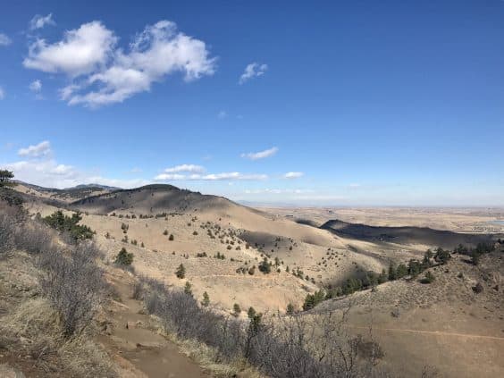
The Mount Galbraith Loop, which encircles the 7,260-foot summit, is a great way to experience this open space. At 4.2 miles and approximately 1,000 feet of elevation gain, it’s a moderate hike that can be done briskly in less than two hours or it can be savored leisurely over the course of a half-day. The trails are fairly exposed which makes this an ideal winter or spring hike. In the summer, plan your hike early in the morning to avoid the sweltering midday sun.
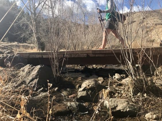
From the trailhead, begin hiking on Cedar Gulch Trail. You’ll cross a small creek and soon the trail begins climbing up. At 1.3 miles in, you’ll reach the junction with Mount Galbraith Loop Trail. You may opt to take the loop in either direction, though clockwise is slightly more scenic. (Be sure not to accidentally wander onto Nightbird Gulch Trail here. Nightbird is an out-and-back trail leading to a local access point. It is not part of the loop.)

The Galbraith loop itself is 1.6 miles long and features serene picnic spots, spectacular rocky outcrops, and views for days. As you hike, keep your eyes open for songbirds, red-tailed hawks, elk, and even bighorn sheep. Once you’ve completed the loop, reconnect with Cedar Gulch Trail to return to the trailhead.
Extra credit
If you’d like a longer hike, consider adding the Nightbird Gulch Trail. This trail is 1.7 miles with 883 feet of elevation. You can add it to the Mount Galbraith Loop, in which case you’ll descend to the neighborhood access point and then hike back up on the return to the loop. Or you might choose to start in the neighborhood and begin your hike with Nightbird. Either way, it will add a little more challenge and a lot more scenery to your time in Mount Galbraith Park.
Happy trails, Boulderites!
Photo credit: Alli Fronzaglia for YourBoulder.com