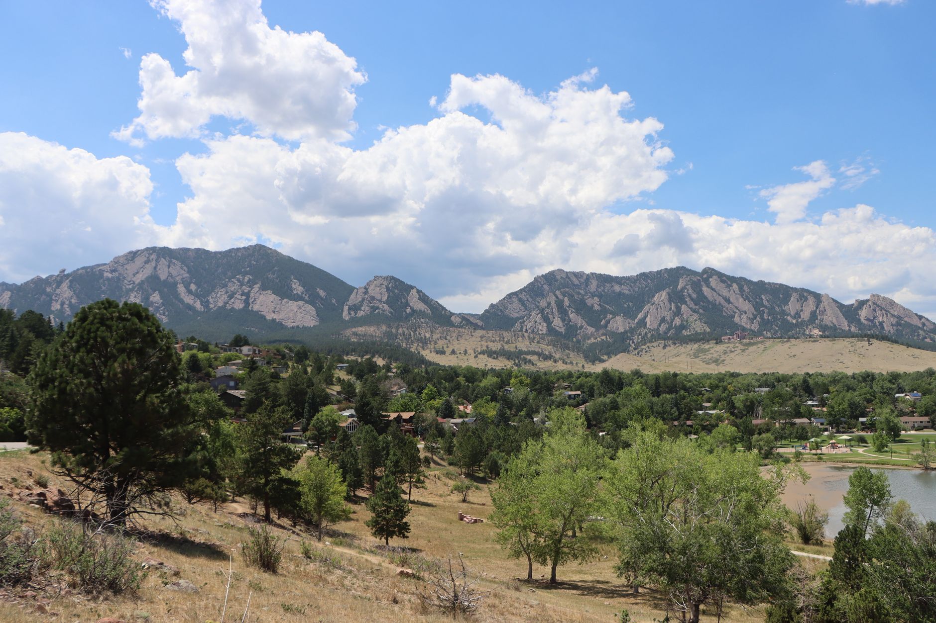
Green Mountain stands behind the Flatirons, and there's more than one way to the top. Three approaches lead to the summit: West Ridge, Gregory Canyon connecting to Ranger, and Saddle Rock connecting to E.M. Greenman. They start at different trailheads, they climb differently, and the dog rules aren't the same on every segment. If you're planning a Green Mountain hike in Boulder, the choice is mostly about where you want to start and how much climbing you want to do.
Editorial update: September 7, 2026 by Your Boulder. Original author: Alli Fronzaglia.

West Ridge
The city's listing for Green Mountain West Ridge gives 1.90 miles and 800 feet of gain, and it describes the route to the Green Mountain summit. That's the listed length for the trail, so hikers returning the same way should plan on about 3.8 miles. The trail was rerouted in 2019.
West Ridge is the shorter approach of the three. Shorter doesn't mean gentle: the final climb to the summit is still steep. At the top, a marker identifies the surrounding mountain ranges.

Gregory Canyon to Ranger
This one starts at the Gregory Canyon trailhead, 171 Flagstaff Road. Turn south off Baseline before the road starts its climb up Flagstaff. The trailhead is open 5 a.m. to 9 p.m. daily, vehicles not registered in Boulder County need a daily or annual OSMP parking permit, and there are 37 standard spaces. There are toilets at the trailhead. Bikes aren't allowed on the hiking trails. And the access road sometimes closes in winter for ice and snow, so it's worth checking before you drive up.
From there, Gregory Canyon trail climbs west through forest; the city lists the entire trail at 1.3 miles, and it connects with Ranger toward Green Mountain. Ranger climbs steeply on wooden and rock steps before joining West Ridge below the summit, and its listing runs 1.5 miles. Those are whole-trail figures. Junctions divide these trails, so adding the listings together won't give you an accurate round trip for the piece you actually walk. Follow the signed summit junction, and return the way you came.

Saddle Rock to E.M. Greenman
Saddle Rock also begins from Gregory Canyon. It's a steep climb past an overlook, with a ladder installed as part of flood repair work, and it ends at E.M. Greenman. The upper stretch of E.M. Greenman is rocky and steep on the way to the summit.
Both of the Gregory Canyon approaches leave from the same trailhead and join the summit route higher up. For a specific loop or an out-and-back combination, use the current OSMP map rather than doing the arithmetic from trail listings.
Dogs
The rules change as you move between segments, so read the signs at each junction. On E.M. Greenman, dogs aren't allowed from the Saddle Rock junction to the summit. On the Ranger-to-Saddle Rock section, dogs must be leashed. West Ridge west of Ranger is also leashed, per OSMP trail regulations.

Before you go
Carry water, bring layers for the summit, save the map on your phone, and pack a headlamp if you're anywhere near the end of the day. If a late finish is the plan rather than the accident, our roundup of Boulder sunset hikes is a better starting point.
Trail conditions and access change. Check the OSMP closures page and posted signs at the trailhead; the trail and trailhead details here were checked against the city's listings on September 7, 2026, and closure status can change after that.