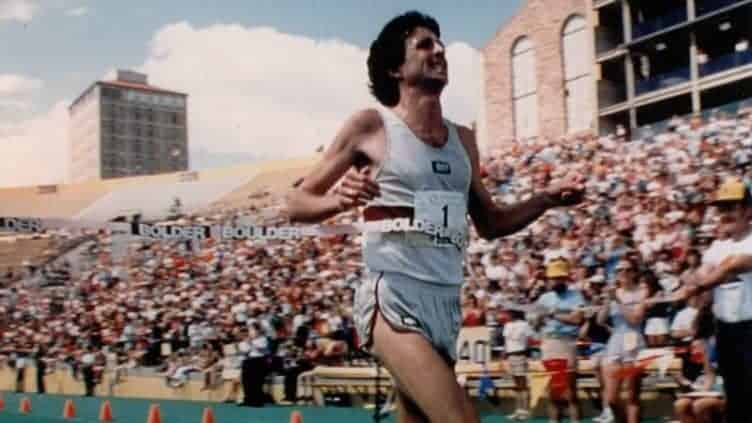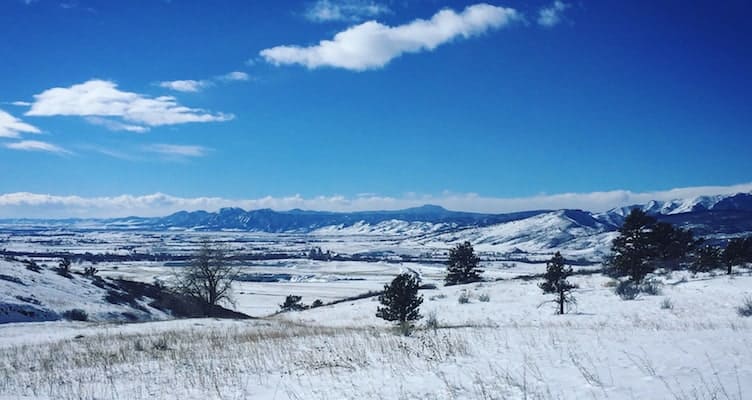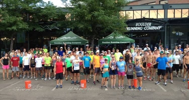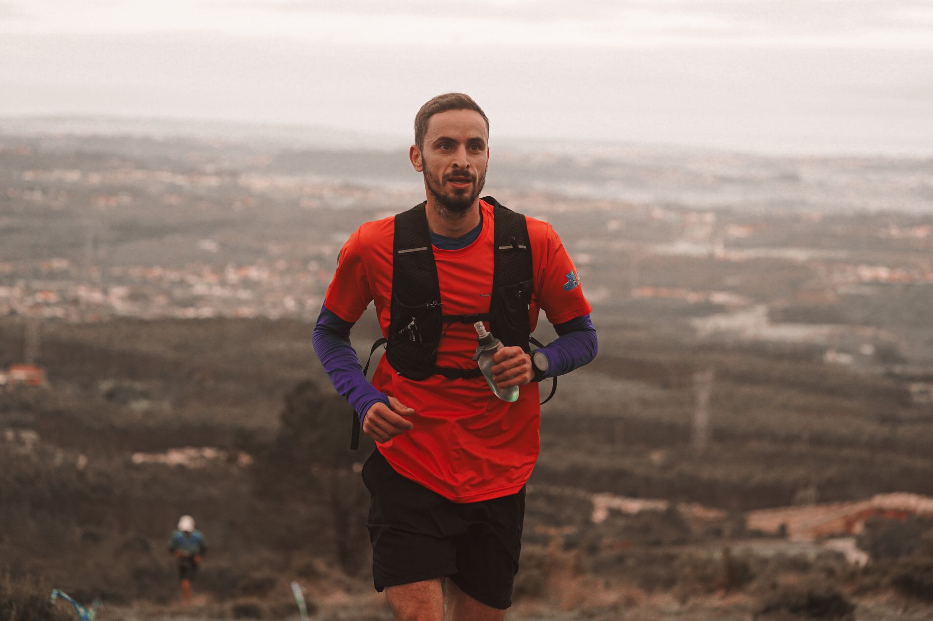
The best running trails in Boulder are the reason a lot of people move here and never leave. This is one of the running capitals of America, and it does not pretend otherwise. Frank Shorter came to town in 1970 for the altitude, won Olympic marathon gold in Munich two years later, and co-founded the Bolder Boulder in 1979 with Steve Bosley. The town has been a distance-running magnet ever since. Today On Athletics Club, Tinman Elite, Run Boulder Athletic Club, and CU's cross-country program all log their miles here, roughly 5,400 feet above sea level. Below are the routes locals actually run, with distances pulled from the city's own trail data so you know what you are signing up for.
Why Boulder Runs the Way It Does
Altitude is the short answer. Shorter is the only American to win two Olympic marathon medals (gold in 1972, silver in 1976), and he chose Boulder specifically to train thin. That reputation compounded over fifty years. On Athletics Club, founded in 2020 under head coach Dathan Ritzenhein, trains here. So does Tinman Elite, going since 2017. Run Boulder Athletic Club is coached by two-time Olympian Kathy Butler, and the Boulder Track Club takes all levels. You will genuinely pass Olympians on the Mesa Trail. None of that requires you to be fast. It just means the trail network is deep, well loved, and well maintained, and there is a route for whatever kind of day your legs are having.
The Flat Miles
When you want to run without thinking about elevation, start with the paths and the creek-bottom trails.
Boulder Creek Path
The Boulder Creek Path is the spine of the whole system: 5.5 paved miles running one way from the mouth of Boulder Canyon east to the Stazio Ballfields past 55th Street. It is flat, shaded in long stretches, and threads past Central Park, the Dushanbe Teahouse, and the CU campus. Leashes are required since this is a city path rather than Open Space. It is busy for a reason, so expect cyclists and give a heads-up when you pass.
South Boulder Creek Trail
The Bobolink Trailhead at 5880 Baseline Road (22 car spaces plus 2 ADA, open 5am to 11pm) feeds the South Boulder Creek Trail: 3.4 miles with only 248 feet of gain, a mix of pavement and crusher-fines gravel, six feet wide and easy underfoot. It feels much farther from town than it is. Dogs are banned south of the gate where the trail follows the stream, and ground-nesting bobolinks sit east of the trail from mid-May through summer, so stay on the path.
Wonderland Lake
Wonderland Lake in north Boulder is the gentlest loop on the list: 1.1 miles of wide gravel with about 93 feet of gain. Link in the Foothills North and South, Old Kiln, and Wonderland Hill trails and you can stretch it to a 2.5 to 2.9 mile loop without ever working too hard. Dogs are allowed on leash or with a Voice and Sight tag.
Coot Lake and Boulder Reservoir
Out at the north end, Coot Lake gives you about 1.2 flat gravel miles around the water, and the Boulder Reservoir perimeter adds roughly 5.25 to 5.3 miles of dirt and gravel with some road-shoulder sections over the dam. Combine them for about 7 flat miles with Front Range views the whole way. A few dog rules to know: Coot Lake is off-leash only with a Voice and Sight tag, and dogs are banned from the reservoir's south shoreline from May 15 through Labor Day. Keep an eye out for summer algae-bloom advisories at the res.
The Climbs
Boulder does not make you drive far for vertical. Two trails do most of the work.
Mount Sanitas
Mount Sanitas is the town's stair machine: 1.3 miles and 1,323 feet of gain to the summit over heavy rock steps, rated hard for good reason. The classic loop goes up the Sanitas Trail, down East Ridge, and back through the valley for about 3.3 miles total. If the summit trail is more than you want, the wide gravel Sanitas Valley Trail below the ridge is the runnable alternative, roughly 0.9 miles one way at a gentle grade. Note that the Lion's Lair route is hikers-only and does not allow dogs.
Mesa Trail
The Mesa Trail is Boulder's signature long run: 6.6 miles one way from Chautauqua to the South Mesa trailhead near Eldorado Springs, 1,714 feet of accumulated gain, mostly singletrack under the Flatirons. Run it out and back and you have logged more than 13 miles of the prettiest dirt in the county. Watch the seasonal rules: several feeder trails, including Gregory Canyon, Saddle Rock, Bluebell-Baird, Skunk Canyon-to-Mesa, and Shadow Canyon South, go leash-only from August 15 through December 1.
Where the Pros Go
Magnolia Road
Magnolia Road, or "Mags," is the famous one. The paved climb up from Boulder Canyon averages a brutal 9.1% grade and hits 17%, reputedly the steepest maintained paved road in the country, but runners drive that part. Park where the pavement ends, about four miles up, and run the rolling dirt at 8,000 to 8,600 feet. This is the road Mark Wetmore's 1998 CU team made legendary in Chris Lear's Running With the Buffaloes, and the Buffs still do regular sessions up there. The full road runs roughly 12 miles toward the Peak to Peak Highway, so out-and-backs of 10 to 15 miles are the norm. There are no facilities and cars do use the road, so plan accordingly.
Marshall Mesa
For tempo work without the drive to altitude, Marshall Mesa south of town is the answer. The trailhead at 5258 Eldorado Springs Drive has 75 spaces and is open 5am to 11pm. A typical loop via Marshall Valley, Coal Seam, and Community Ditch runs about 3.1 miles with 258 feet of gain, and the gravel network links up into much longer efforts. It reopened after a 2025 access disruption and is open as of August 2026. Vehicles not registered in Boulder County pay a parking fee, and the trails close when they are muddy.
Dogs, Seasons, and Closures to Know Before You Go
A few things worth checking before you lace up. The First and Second Flatiron Trail near the Mesa Trail start is closed weekdays, Monday through Thursday, 8am to 4:30pm, through fall 2026 for stone-step rebuilding. The Dry Creek Trailhead on Baseline is closed from late August into October 2026 for a county bridge replacement, which can complicate driving access near the Bobolink corridor. Boulder Falls in the canyon is closed indefinitely after rockslide damage, which matters if you were planning to stop on the way up to Magnolia. Red Rocks Trail has intermittent segment closures during Xcel repairs. As of August 2026 there are no closures on the Creek Path, Sanitas, Wonderland, Coot and the reservoir, Marshall Mesa, or South Boulder Creek.
Track access is thinner than you would hope. CU's Potts Field is not open to the public, so if you want a 400-meter oval, head to Fairview or Niwot High School, or run the Boulder Road Runners' all-comers summer meets, which are held at Potts. If you want more dirt after this, our Boulder hiking guide covers the same trailheads at a walking pace, and the Boulder breakfast guide handles post-run refueling.
Race Day: the Bolder Boulder
If you are building toward something, the Bolder Boulder is the town's shared finish line. This 10K runs every Memorial Day and finishes inside Folsom Field alongside one of the largest Memorial Day tributes in the country. The 2026 edition, the 46th, ran on May 25 with about 47,645 finishers; Patrick Kiprop won in 28:35 and Rebecca Mwangi in 32:33. Registration sells toward capacity and closes before race weekend, with sign-ups up 10% year over year, so do not wait. You can find it and other local races on our events calendar.
Frequently Asked Questions
What Is the Best Running Trail in Boulder for Beginners?
Start with the flat ones. The Boulder Creek Path gives you 5.5 paved, mostly shaded miles with no real climbing, and the Wonderland Lake loop is an easy 1.1 miles of wide gravel with only about 93 feet of gain. Both are gentle on the legs while you get used to the altitude.
Can I Run with My Dog on Boulder Trails?
On most Open Space trails, yes, on leash or with a Voice and Sight tag. But the rules vary by trail: dogs are banned south of the gate on the South Boulder Creek Trail, off the reservoir's south shoreline from May 15 through Labor Day, and off Coot Lake's west side and wetlands. Several Mesa Trail feeders also go leash-only from August 15 through December 1, so check the specific trail before you go.
Is There a Public Running Track in Boulder?
Not at CU. Potts Field is a CU Athletics facility and is not open to the public. For a public 400-meter track, use Fairview High School or Niwot High School, or run the Boulder Road Runners all-comers summer track meets, which are held at Potts on set dates.
Where Do Professional Runners Train in Boulder?
Magnolia Road is the classic pro session, a rolling dirt road at 8,000 to 8,600 feet made famous by CU's cross-country teams in Running With the Buffaloes. The Mesa Trail is the other one you will see elites on, six-plus miles of singletrack under the Flatirons. Groups like On Athletics Club and Tinman Elite are based right in town.
How Long Is the Boulder Creek Path?
The city lists it at 5.5 paved miles one way, running from the mouth of Boulder Canyon east past 55th Street to the Stazio Ballfields. Some third-party sources count extensions closer to 7 miles, but the core path is 5.5. It is flat and multi-use, so leash your dog and watch for cyclists.