Editorial update: September 7, 2026 by Your Boulder. Original author: Alli Fronzaglia.
Woods Quarry is a short, steep detour off the Chautauqua trail network, and it ends at a bench of cut sandstone with the city spread out below. It's a good outing if you want something with a destination but don't have a summit day in you.
Starting at Chautauqua
The Chautauqua trailhead is at 900 Baseline Road, open 5 a.m. to 11 p.m. daily. Parking is limited, and the city runs a seasonal park-to-park shuttle, so check the current service dates there before you plan your trip. Ranger Cottage has maps and information. Restrooms are at the Ranger Cottage and at upper Bluebell Road. Bikes aren't allowed on the Chautauqua hiking trails.
The route up
The route described by Visit Boulder runs Bluebell Road to Mesa to Woods Quarry. At the Mesa fork, go right toward Woods Quarry. The last stretch before the quarry is steep, and the tread is narrow: the city's trail listing gives the width as one to three feet. On the way back you follow signs to Mesa and then down Bluebell.
What the mileage actually covers
The city's trail listing gives Woods Quarry as 0.40 miles with 226 feet of gain. That segment doesn't include the approach from Chautauqua, so it isn't the number for your day. The original version of this guide put the full outing at roughly 2.6 miles round trip, and we've kept that here as the legacy estimate rather than a current measurement. Your total depends on which approach you take and which way you come down, so plan off the official map.
The quarry itself
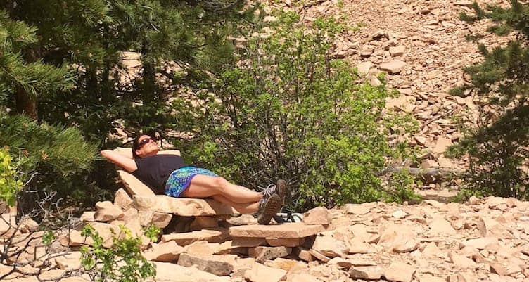
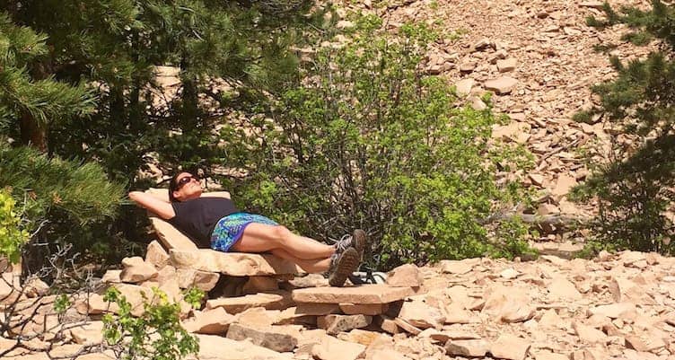
Sandstone cut here supplied Boulder buildings and sidewalks in the 1890s, and the city says the quarry closed in the 1920s. What's left is stacked and scattered slab, with views out over town and the eastern plains. The original guide described visitors resting on the sandstone slabs. Leave the stone where you find it. Don't stack or move rock to build seats or cairns.
The stone cabin in the original guide
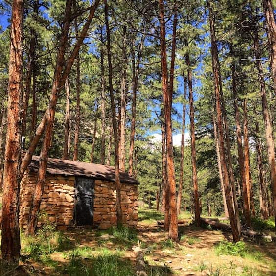
The 2015 version of this guide described a loop that passed this old stone cabin. We haven't re-verified that route, so check the current official map for where the cabin sits relative to the way you come down. If you do pass it, look at it from the designated trail.
Before you go
Check the current OSMP closure map before you drive out, and follow posted signs on the ground, since conditions change. If you want a longer climb out of the same area, our Green Mountain summit guide covers a much bigger day. For Woods Quarry, plan around the trailhead hours of 5 a.m. to 11 p.m. and the limited parking noted above.