
South Boulder
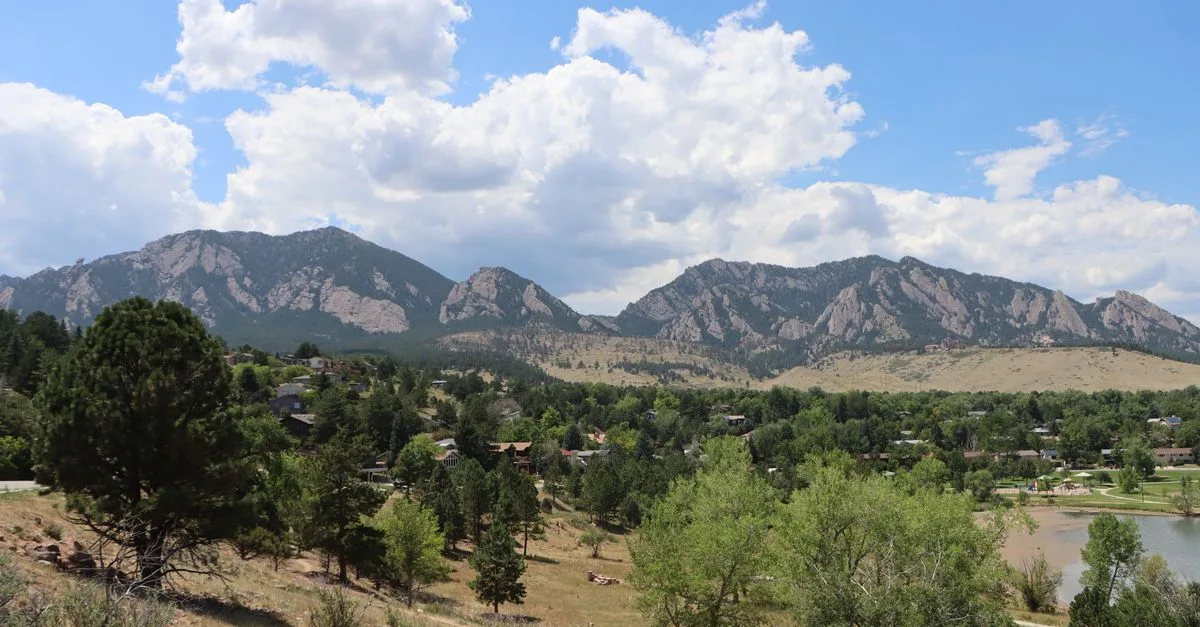
South Boulder sits right up against the Flatirons, where a trailhead starts at the end of nearly every street and Denver is a quick drive down US-36.
South Boulder sits right under the Flatirons, and it is really a handful of settled neighborhoods stitched together: Table Mesa, Martin Acres, Shanahan Ridge, and the southern edge of Chautauqua. It feels quieter than downtown and less crowded than the university area, with ranch houses and split-levels from the 1950s through the 1970s lining streets that often dead-end at open space instead of another block of houses. You notice the mountains constantly here, not as a backdrop but as the thing half the streets are pointed at.
NCAR's Mesa Lab anchors the area from its perch above Table Mesa. I.M. Pei designed the building, drawing on the cliff dwellings at Mesa Verde, and its rough, pink-tinted concrete settles into the hillside in a way that still catches people off guard the first time they see it up close. Down the hill, the Table Mesa Shopping Center at Broadway and Table Mesa Drive holds a King Soopers and the kind of everyday errands that keep you from having to drive into town.
The bigger draw for most residents is what starts right outside the door. The Mesa Trail runs along the base of the foothills and connects to nearly every trailhead in South Boulder, including the one at the end of Lehigh Street that climbs into Shanahan Ridge. Keep going and you can work your way up toward Bear Peak and South Boulder Peak, or just loop through the ponderosa pines for an hour before dinner and call it good.
US-36 is close enough that a commute into Denver does not wreck your morning, which is part of why South Boulder appeals to people who work downtown but want the mountains right there. Housing runs mid-century: Martin Acres in particular has smaller, older homes that tend to cost less than newer construction elsewhere in Boulder, though "less" in this city is a relative term. It works well for hikers who want a trailhead within walking distance, commuters who need the highway close, and families who would rather have a yard than a walk to Pearl Street.
What You'll Find in South Boulder
- NCAR & the Mesa Trail
- Bear Peak & Shanahan trails
- Table Mesa shopping
- US-36 to Denver
Living in South Boulder
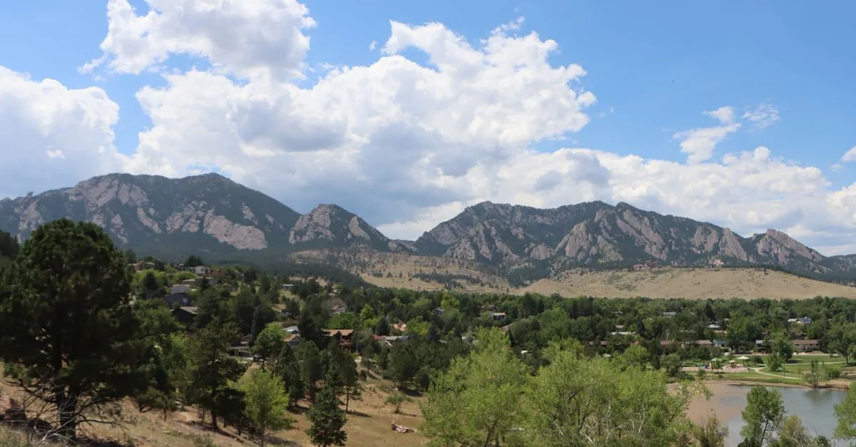
South Boulder is really three neighborhoods answering to one name: Table Mesa, Martin Acres, and the newer streets climbing Shanahan Ridge, plus the quiet southern edge of Chautauqua. Most of the houses are ranch and split-level, built in the 1950s and 60s back when NCAR's Mesa Lab was still new on the hill above town. Lots run bigger than what you'll find near downtown, and a good share of the original owners have been replaced by their kids, or by CU faculty who wanted a shorter commute without living on top of campus.
The rhythm here follows the mountains more than the clock. On a clear Saturday, cars start filling the residential streets near Table Mesa Drive before 8 a.m. because the NCAR lot fills fast and Bear Peak draws a crowd. Weeknights are quieter: dog walkers on the Bear Creek path, kids at Martin Park, the steady churn of grocery runs to King Soopers. It doesn't feel like a college neighborhood the way the Hill does. Renters cluster along the bus routes, but most of what you're buying or renting here is a single-family home with a driveway and a mountain view out the back window.
There are real tradeoffs. Pearl Street is a 10 to 15 minute drive, not a walk, and the restaurant lineup at Table Mesa Shopping Center got thinner when Under the Sun closed in 2024. Winter means checking conditions before heading up Table Mesa Drive toward NCAR, since that road ices before the rest of the neighborhood does.
Parks & Trails
Martin Park. Neighborhood park in Martin Acres along Bear Canyon Creek, with a ball diamond, tennis courts, a playground, and a little free library out front.
Viele Lake. Viele Lake is in Harlow Platts Community Park at 1360 Gillaspie Drive. The city puts the path around it at about 0.7 miles. The South Boulder Recreation Center is next door.
Shanahan Ridge Trail. Trail network climbing out of the Shanahan Ridge neighborhood, with north and south forks that let you build a longer or shorter loop.
Walter Orr Roberts Weather Trail. Gentle 0.4-mile interpretive loop behind the NCAR Mesa Lab, an easy one with kids or on a lunch break.
South Mesa Trailhead. Fee trailhead off Eldorado Springs Drive and the main southern approach to Bear Peak and South Boulder Peak via Shadow Canyon.
Doudy Draw. A short drive south on Colorado 93, a rolling, bike-friendly trail that connects into Community Ditch and Spring Brook.
Where to Eat & Drink
South Side Walnut Cafe. Breakfast and lunch spot in the Table Mesa Shopping Center; expect a wait for the huevos rancheros on weekend mornings.
Southern Sun Pub & Brewery. Longtime brewpub on South Broadway with a patio that fills up after a Mesa Trail hike.
Tandoori Grill. North Indian menu that's anchored the shopping center for two decades, tandoori and curries done straightforwardly well.
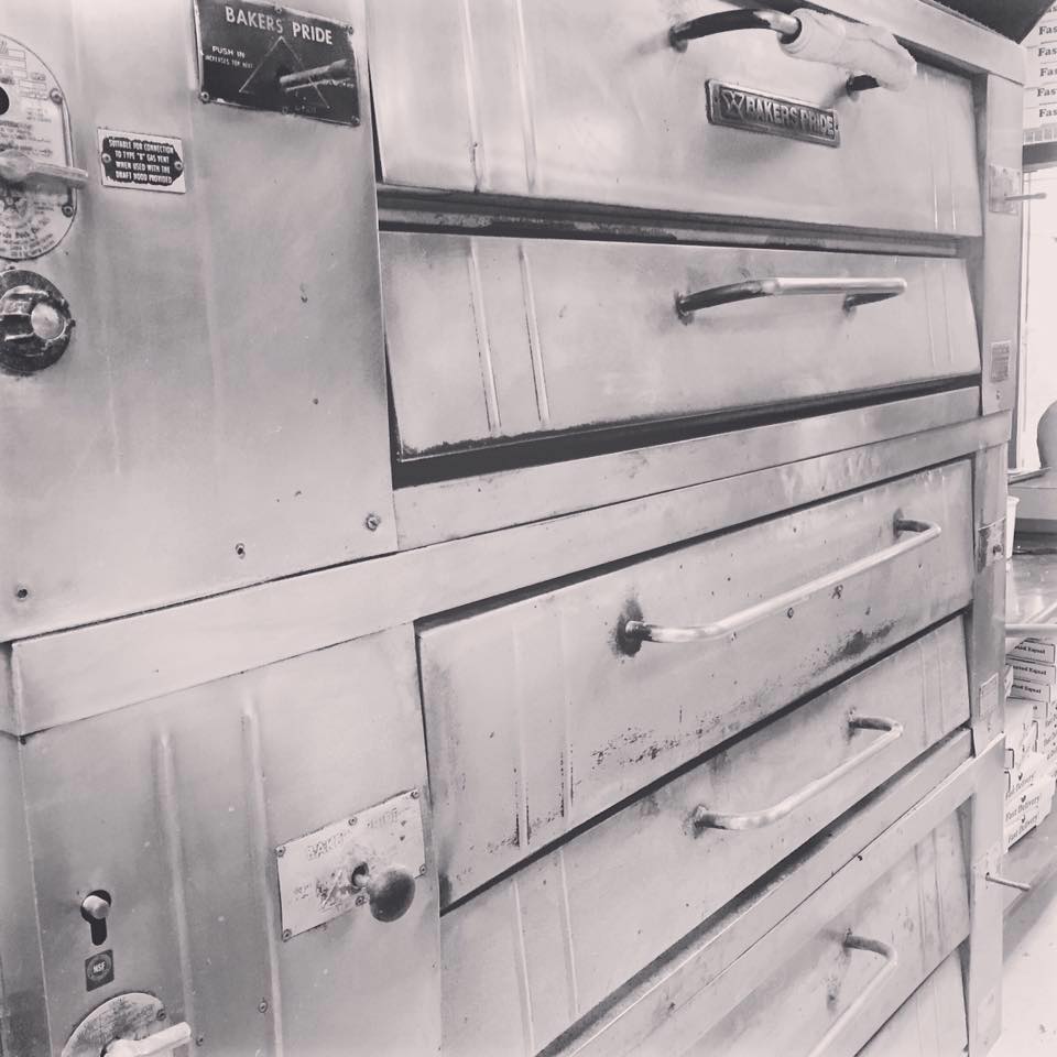
Abo's Pizza South Boulder. New York-style slices and pies a short walk from Bear Creek Elementary, a standby for family dinners.
Sweet Cow. Small-batch ice cream shop at the base of the Flatirons, where the outdoor seating fills with hikers coming off the trails.
Illegal Pete's Table Mesa. Burritos and bowls in the space Murphy's South used to occupy, open later than most of the shopping center.
Schools
- Creekside Elementary School at Martin Park. PK through 5 in Martin Acres, a few blocks from the park it's named for, with a genuinely international student body.
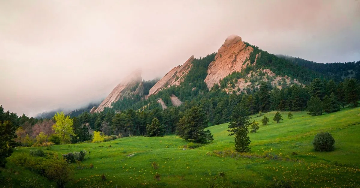
- Bear Creek Elementary. PK through 5 right on Table Mesa Drive, close enough to the Flatirons that the view competes with the whiteboard.
- Mesa Elementary. K through 5 on Lehigh Street, a smaller neighborhood school that folds visual arts and music into the regular curriculum.
- Southern Hills Middle School. Grades 6 through 8 on Knox Drive, drawing students from the Bear Creek and Creekside areas before they move on to Fairview.
- Fairview High School. The area's comprehensive high school on Greenbriar Boulevard, with IB and AP tracks and one of the largest enrollments in BVSD.
Hospitals & Urgent Care
- Boulder Community Health Foothills Hospital. The city's main hospital and 24-hour ER, on Arapahoe Avenue, roughly a 10-minute drive from Table Mesa.
- AFC Urgent Care Baseline. Walk-in urgent care on Baseline Road, closer for most South Boulder addresses than the downtown options.
- Boulder Medical Center Urgent Care (Broadway). BMC Urgent Care is at 2750 Broadway and takes walk-ins seven days a week. Check current department hours online before you go. The Foothills campus is a different clinic location.
Getting Around
RTD's SKIP route runs up and down Broadway every 10 minutes on weekdays, connecting Table Mesa to downtown, the CU campus, and north Boulder (it slows to every 15 minutes evenings and Saturdays, 30 on Sundays). For the commute to Denver, the Flatiron Flyer picks up at the US 36 & Table Mesa Park-n-Ride, though a structural-repair project there has closed off parts of the plaza and shifted some bus gates. The Bear Creek path links Martin Acres into the wider Boulder Creek path network for biking downtown. Parking at the NCAR trailhead fills by mid-morning most weekends, and the overflow lands on nearby residential streets, so an early start matters if you're driving up for a hike.
South Boulder Neighborhood Guides
1950s ranch homes, easy highway, real neighbors
Shanahan RidgeThe highest streets, the closest trails.
Table Mesa1960s ranch homes below NCAR's mesa.
Local Businesses in South Boulder
Pizza

Coffee Shop

Child Care Center

Art & Hobbies

Dentistry

Dentistry
Asian
Restaurants & Bars
American
Frequently asked questions about South Boulder
Is Table Mesa walkable?
The Table Mesa shopping area is at Broadway and Table Mesa Drive, and whether you can walk to it depends on your address. The SKIP connects Broadway to CU and downtown. Some errands will still take a bike, a bus, or a car. Trails run from the South Boulder foothills.
What is housing like in Martin Acres?
Martin Acres is mostly single-family homes built from the 1950s through the 1970s, smaller and older than the newer construction going up elsewhere in Boulder. That makes it one of the more attainable pockets of South Boulder, though "attainable" in Boulder is a relative word, since even smaller mid-century houses here sell well above what most of the country would call affordable.
What trails start near Shanahan Ridge?
The Shanahan Ridge trailhead sits at the end of Lehigh Street and feeds into the North and South Fork Shanahan trails, which climb through ponderosa pine forest and meet the Mesa Trail. From there you can continue toward Fern Canyon and Shadow Canyon, both of which lead up to Bear Peak and South Boulder Peak.
Is South Boulder good for families?
Yes. The mix of mid-century single-family homes, quieter streets, and direct access to open space makes it popular with families who want a yard and room to roam. Martin Acres includes Creekside Elementary School and Martin Park, and Table Mesa Shopping Center covers groceries and everyday errands without a drive downtown.
How far is South Boulder from downtown Boulder?
Not far. Broadway runs straight from the Table Mesa Shopping Center up through the CU campus and into downtown, so it is a short, direct drive with no highway needed. The same road network puts US-36 and the drive toward Denver within easy reach too.
More Local Guides
Sources & Updates
Selected sections checked .
Review scope: Urgent care location; Viele Lake; travel options.
Photos: Lindsey Willard / Pexels · Intricate Explorer / Pexels
Never miss a thing in Boulder.
Boulder's best events, concerts, happy hour deals, comedy shows and editorial picks. Delivered to your inbox every Friday at 7am MT.