
The Canyons
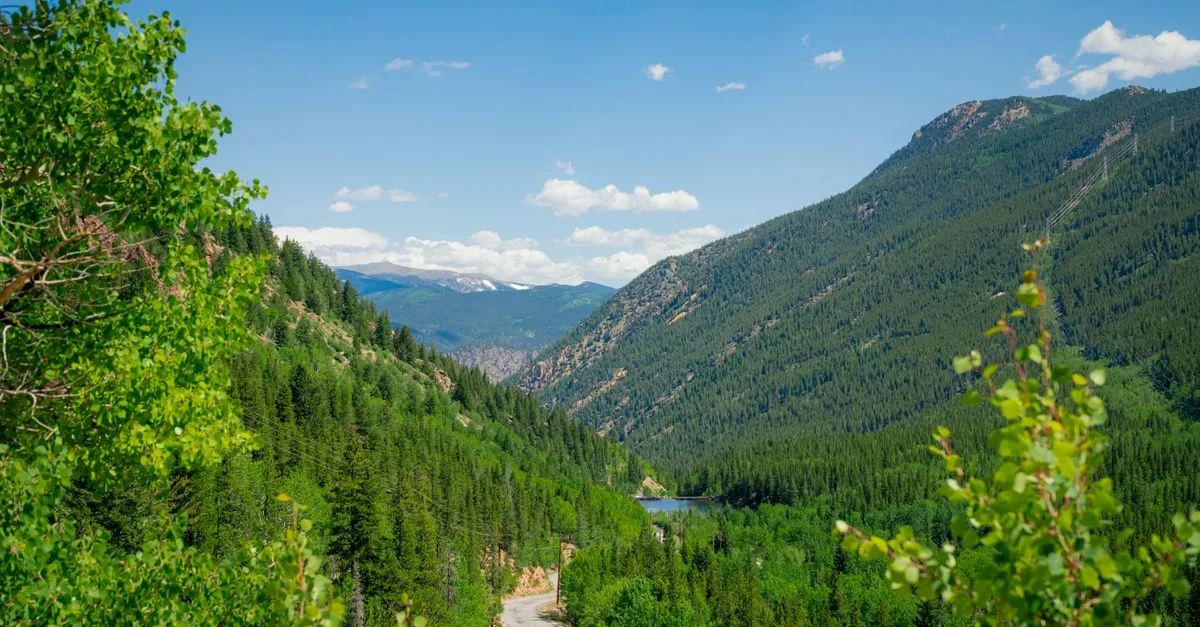
The canyons are where Boulder stops being a town and starts being the mountains, usually within about ten minutes of leaving Pearl Street.
Part of what makes Boulder feel like Boulder is how fast the flats give way to rock. Five roads climb west and north out of town into the foothills, and within minutes of downtown you can be roping up on granite, grinding out a cycling climb, or winding a dirt road toward a gold-rush ghost town. The canyons are less a single neighborhood than a way of living close to the city while waking up in the trees, with a creek or a crag out the window instead of a sidewalk.
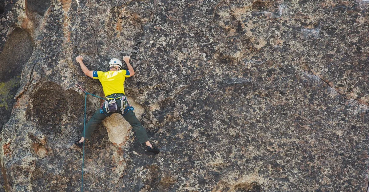
Boulder Canyon is the main line. State Highway 119 follows Boulder Creek straight west out of town toward Nederland, about seventeen miles of granite walls on one side and whitewater on the other. It is the canyon most locals mean when they say they are heading up the canyon, and its roadside crags make it one of the best sport-climbing corridors in the country. Boulder Falls, the roadside cascade partway up that almost everyone knows, has been closed since a November 2024 rockfall while the city designs a safer viewing area.
The other canyons each have their own character. Sunshine Canyon rises out of Mapleton Avenue and switchbacks up to Gold Hill, a mining town founded in 1859 that still has a dirt main street and a general store. Left Hand Canyon climbs north toward Jamestown and up to Ward on the Peak to Peak Highway. Fourmile Canyon branches off the main canyon toward Salina and Wall Street, and Lee Hill Road pitches steeply up the north edge of town. Cyclists treat all of them as bucket-list climbs, and the fall-color drive up any of them is worth the slow traffic.
Living up here means trading convenience for quiet. Homes tend to sit on more land, feel more rustic, and cost less per square foot than the streets under the Flatirons, but you pay for it in the commute, the winter driving, and the wildfire mitigation that mountain living now demands. The 2010 Fourmile Fire is still fresh for a lot of residents, and many of these properties sit in unincorporated Boulder County rather than the city.
What You'll Find in The Canyons
- Boulder Canyon climbing crags
- Sunshine Canyon to Gold Hill
- Left Hand Canyon to Ward
- Bucket-list road-cycling climbs
Living in The Canyons
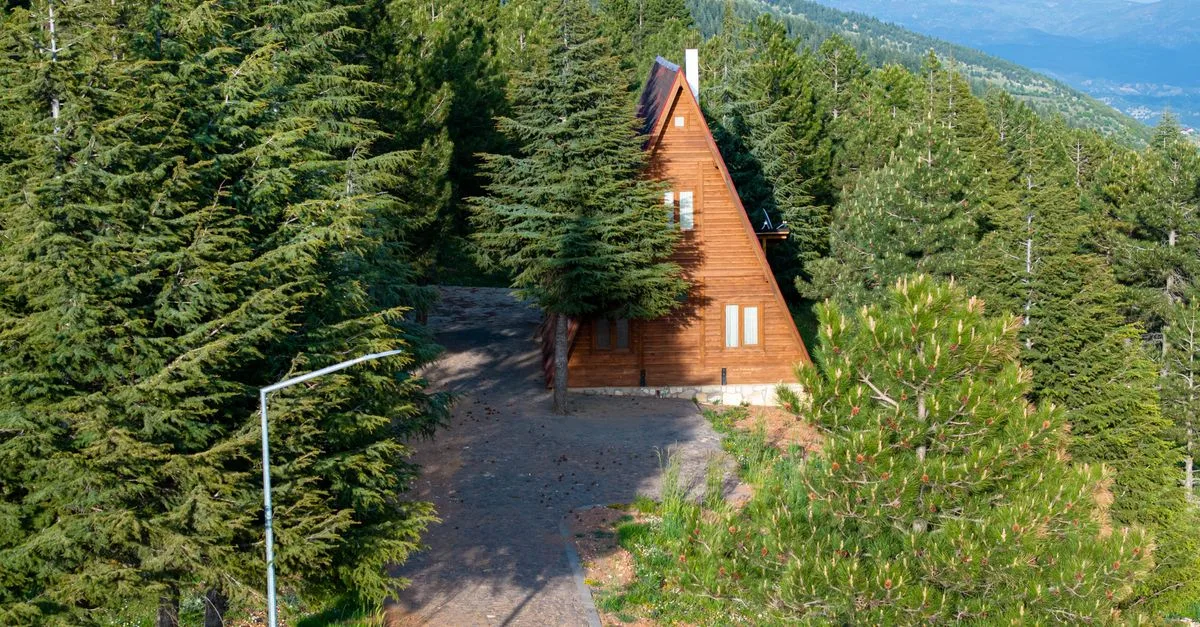
Living in the canyons means the day bends around a drive. Groceries, school pickup, even trash day all work backward from the fact that Boulder Canyon, Sunshine Canyon, Left Hand Canyon, Fourmile Canyon, and Lee Hill Road are narrow two-lane roads shared with rock trucks, cyclists, and the occasional herd of deer. Anyone who traded a Boulder address for one up here already knew that trade going in. Neighbors are a mix of families who have been in Gold Hill or Jamestown for generations, climbers and cyclists who wanted the terrain right outside the door, and remote workers who gave up square footage in town for a creek and a view.
A typical property runs on well water and a septic system rather than city utilities, often with a propane tank out back. Houses sit spaced out among ponderosa pine and scrub oak, usually at the end of a gravel or dirt driveway that turns into a real winter project after a big storm. Wildfire mitigation is not optional. Clearing brush and thinning trees around the house is just part of owning property up here, and the 2010 Fourmile Fire is still a name locals say without needing to explain further. Homeowners insurance has gotten harder to find and more expensive to keep in these zones, and that shapes who ends up buying.
Summer weekends bring their own traffic: cyclists grinding up Left Hand or Sunshine Canyon before the heat sets in, cars slowing for climbers roped up along Boulder Canyon's crags. Fall brings the aspen crowds up toward Ward and Nederland. Winter is quieter and harder, with snow tires a requirement rather than a suggestion and the occasional closure on Left Hand or Boulder Canyon during high wind. In towns as small as Gold Hill and Jamestown, the volunteer fire department and the one general store end up doing double duty as the actual center of community life.
Parks & Trails
Boulder Falls. The trail closed after a bad rockfall in November 2024, and the city has no reopening date while it designs a new, safer viewing platform.
Betasso Preserve. Popular loop trails just off Sugarloaf Road partway up Boulder Canyon, shared by hikers and mountain bikers with Wednesdays and Saturdays set aside for hikers only.
Bald Mountain Scenic Area. A short loop just off Sunshine Canyon Drive that was Boulder County's first open space purchase, opened to the public back in 1973.
Anne U. White Trail. A footpath-only trail off Wagonwheel Gap Road near Lee Hill that follows Fourmile Canyon Creek back and forth, with enough crossings that wet shoes are part of the plan.
Heil Valley Ranch. Rolling ponderosa trails on old ranch land near the mouth of Left Hand Canyon, reached by the access road at Geer Canyon.
Where to Eat & Drink
Gold Hill Inn. A historic restaurant and music venue in Gold Hill that only opens seasonally, Wednesday through Sunday evenings from May into December.
Jamestown Mercantile. The only restaurant in Jamestown and the town's real gathering spot, with pizza on Fridays and live music midweek.
Kathmandu Restaurant. A Nederland fixture since 1999 serving Nepali and Indian food, including a daily lunch buffet.
New Moon Bakery & Cafe. Nederland's bakery and coffee stop since 2009, with a patio that looks out over the mountains.
Covered Wagon Restaurant & Saloon. The bar and burger spot that took over the long-running Pioneer Inn space in downtown Nederland.
Schools
- Gold Hill Elementary. A tiny multi-age BVSD school in Gold Hill, founded in 1873 and believed to be the oldest continuously running elementary school in Colorado.
- Jamestown Elementary. An even smaller BVSD school serving Left Hand Canyon families, usually with well under two dozen kids enrolled.
- Nederland Elementary School. The K-5 school for Nederland, Eldora, and the upper end of Boulder Canyon.
- Nederland Middle-Senior High School. A combined 6-12 school, so canyon teens don't have to bus all the way down to Boulder for middle or high school.
Hospitals & Urgent Care
- Boulder Community Health Foothills Hospital. The area's hospital and emergency room, on Arapahoe Avenue in town, typically twenty to forty minutes below the canyons depending on where you live and the road conditions.
- Clinica Family Health, Nederland Clinic. Primary and family care actually based in Nederland, open Monday, Wednesday, and Thursday, with a 24-hour phone line for anything urgent after hours.
- AFC Urgent Care, Boulder. The nearest walk-in urgent care, on Pearl Street in town, which markets itself directly to Sunshine Canyon and Gold Hill residents.
Getting Around
Getting around the canyons means driving, most of the time. RTD's NB1 and NB2 buses run the one fixed route that reaches up here, following Boulder Canyon between downtown Boulder and the Nederland Park-n-Ride roughly once an hour, with NB2 continuing to Eldora Mountain Resort when the ski area is open for the season. Sunshine Canyon, Fourmile Canyon, Left Hand Canyon, and Lee Hill Road have no bus service at all, so a car is not optional for daily life up there. Cyclists get a paved and packed-gravel path partway up Boulder Canyon starting near Eben G. Fine Park before the highway takes over and riders share the shoulder with traffic. Parking at trailheads and around Nederland fills up fast on summer weekends, so getting there early beats circling for a spot.
Frequently asked questions about The Canyons
What are the main canyons around Boulder?
Five roads climb into the foothills: Boulder Canyon runs west along Boulder Creek toward Nederland, Sunshine Canyon climbs to Gold Hill, Fourmile Canyon heads toward Salina, Left Hand Canyon leads to Jamestown and Ward, and Lee Hill Road pitches up the north edge of town.
Can you rock climb in Boulder Canyon?
Yes. Boulder Canyon is one of the best sport-climbing corridors in the country, with granite crags rising right off Highway 119. Routes range from beginner-friendly to hard testpieces. Note that the Boulder Falls viewing area has been closed since a 2024 rockfall.
What is it like to live in the canyons?
Quieter and more rustic than the neighborhoods under the Flatirons. Homes usually sit on more land and cost less per square foot, but you trade that for a longer commute, winter mountain driving, and real wildfire mitigation. Many properties are in unincorporated Boulder County rather than the city.
Where does Boulder Canyon lead?
West along Boulder Creek to Nederland, about seventeen miles up, where it meets the Peak to Peak Highway and Barker Reservoir. From Nederland you can continue to the Eldora ski area or head north and south along the Peak to Peak.
Are the canyons good for cycling?
They are legendary for it. Sunshine Canyon to Gold Hill, Left Hand Canyon to Ward, and Lee Hill are all bucket-list climbs for road cyclists. The roads are narrow and shared with cars, so most riders go early and ride single file.
More Local Guides
Photos: Pexels · Ömer Furkan Yakar / Pexels · Brett Sayles / Pexels
Never miss a thing in Boulder.
Boulder's best events, concerts, happy hour deals, comedy shows and editorial picks. Delivered to your inbox every Friday at 7am MT.