Editorial update: September 7, 2026.
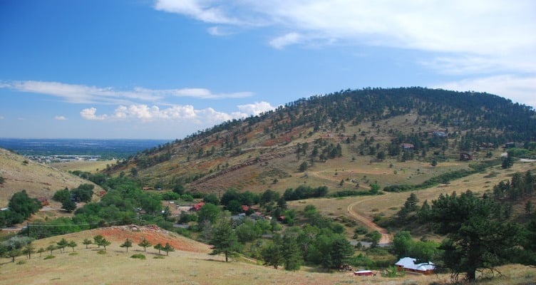
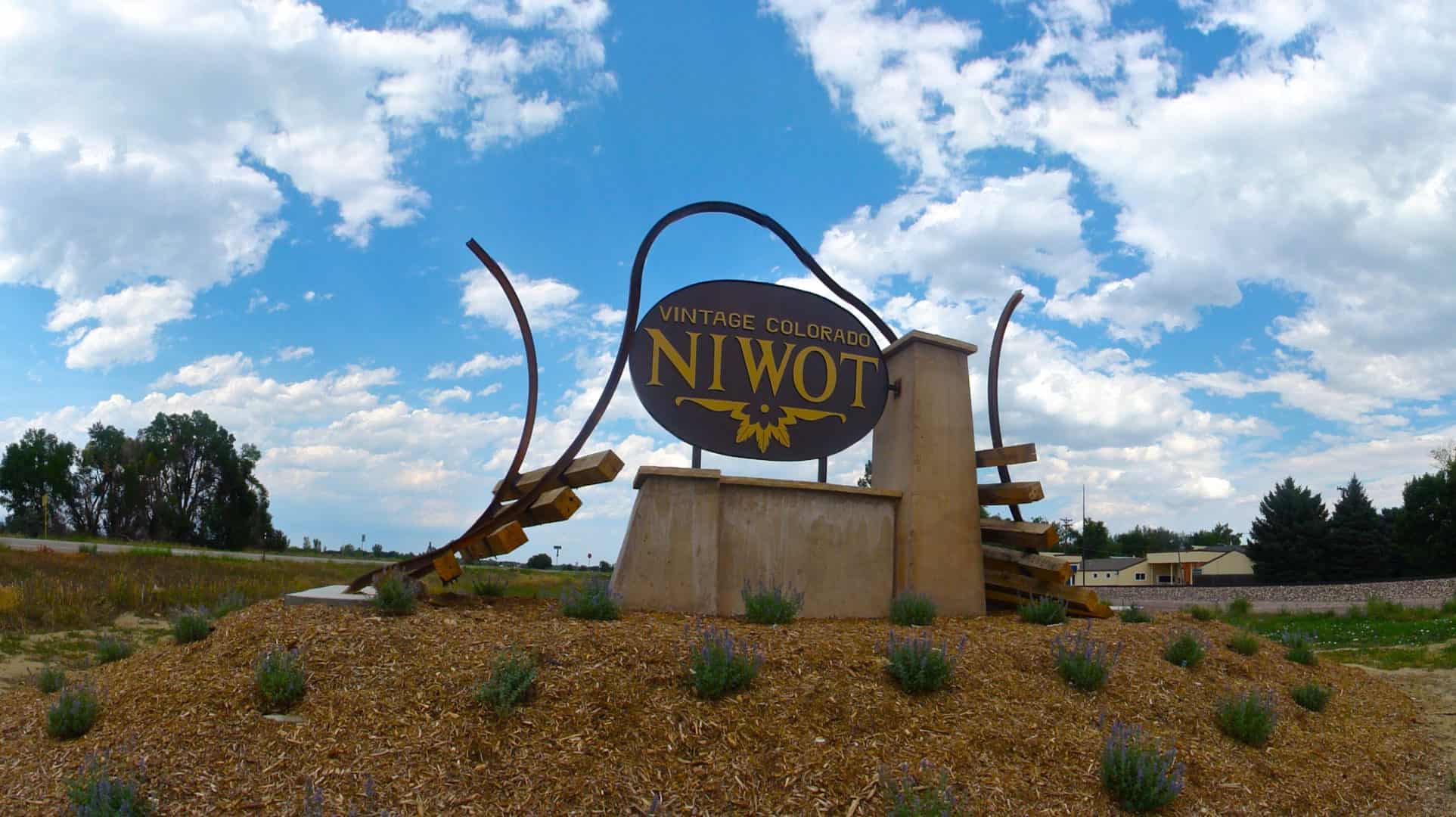
Niwot sits northeast of Boulder and south of Longmont, strung along Colorado 119, which almost nobody around here calls anything but the Diagonal Highway. It's an unincorporated Boulder County community, so it isn't a Boulder city neighborhood and it isn't a municipality of its own either. County ordinances apply rather than any city's. If you're looking at a specific house, the county's Property Search will tell you which jurisdiction that address falls under.
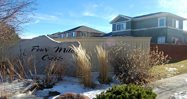
There's the old farm town, and then there are the residential subdivisions that grew up around it. Old Town runs to bungalows on small lots, while Somerset has the larger residential lots. Much of that growth traces back to IBM's facility at Colorado 119 and Highway 52, which pulled housing into both Niwot and Gunbarrel.
Chief Niwot and Sand Creek
The town takes its name from Chief Niwot, also called Left Hand, an Arapaho leader whose people moved along the Front Range and wintered in the Boulder Valley. The gold rush settlement that followed brought conflict and dispossession, and the plainest marker of that is Sand Creek. On November 29, 1864, US troops attacked a Cheyenne and Arapaho camp that had been given assurances of military protection. Left Hand was among the leaders there.
Second Avenue
The railroad came first. A depot arrived in 1873, and Porter T. Hinman and Ambrose S. Murray platted the town in 1875 on a grid that straddled the tracks. Second Avenue is the historic core, and the Livingston Hotel at 136 Second Avenue, built in 1907, stood close enough that guests walked over from the depot.
Where to eat
Two of the anchors from the original guide are still on Niwot Road, side by side. The Niwot Tavern at 7960 is a restaurant with a full bar. Next door at 7980, the Niwot Market has been run by the Steele family since 2002, a grocery store with a deli doing breakfast, lunch and sandwiches. Out on N. 79th Street at 6778, Fritz Family Brewers pours lagers and ales. Hours shift, so check the sites before you drive out.
Schools
Niwot is in St. Vrain Valley Schools. Niwot Elementary and Niwot High are here, but attendance is set by street address, so run the specific house through the district's boundary lookup, which will also give you the middle school assignment.
Trails and the tree carvings
The county trails around Niwot follow historical irrigation routes through Niwot neighborhoods, a legacy of the farming that shaped this part of the plains. The Niwot Trails tie into the regional LoBo route, and the county map shows what's open to walking and cycling. Dogs stay leashed.
Eddie Running Wolf's carvings in the roadside trees were a landmark for years. Decay meant they had to come out in 2021 for restoration, and his son Dustin Wolf is leading that work, with a shelter planned at Lefthand Valley Grange Park. The project site tracks progress toward putting them back on public display.
For a half day, park on Second Avenue, walk the historic core, then eat at the Tavern or take a sandwich from the Market. After that, check the county trail map and pick a trailhead: the Lefthand Valley Grange one has a restroom, which is sometimes the deciding factor.