Editorial update, September 7, 2026: neighborhood facts, park details and the school lookup were reviewed and refreshed.
These photos first appeared with the guide in December 2013.
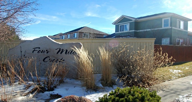
Four Mile Creek covers a residential stretch of northeast Boulder. Two similar names get mixed up here. Fourmile Canyon Creek runs through north Boulder and past East Palo Park. Fourmile Creek, west of town in the mountain canyons, is a different stream entirely.
Jay Road marks the north edge, 47th the east and 30th the west, with open space along the south.
History and housing
Most of Four Mile Creek went up in the late 1990s and the 2000s, according to a City of Boulder planning report, which describes the housing as mostly detached houses with some duplexes mixed in. Lots run to roughly a quarter acre. The street pattern is what you'd expect from that era, built around cul-de-sacs, without many streets that carry through to anywhere else.
Restaurants and shopping
The Diagonal Highway is close by, and North Boulder has shops for everyday errands.
Parks and outdoor recreation
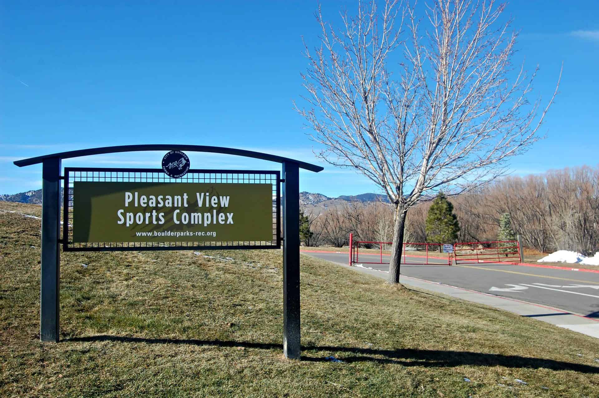
You'll find tennis, open grass and room to picnic at North Palo Park, 30th Street and Redwood Place. East Palo Park, at 4340 Corriente Drive, adds a playground, shade and paved paths. Pleasant View Fields at 3805 47th Street hosts soccer and rugby. Dogs aren't permitted anywhere on the property, and bikes have to stop at the gates. Invasive New Zealand mudsnails are why the city asks people to keep out of the Fourmile Canyon Creek corridor.
Schools
BVSD assigns schools by home address rather than by neighborhood. Check the current attendance maps in the BVSD K-12 School Finder before you count on a particular school.