Editorial update, September 7, 2026: we went back through the park details, grocery address and school lookup here and replaced what had gone out of date.

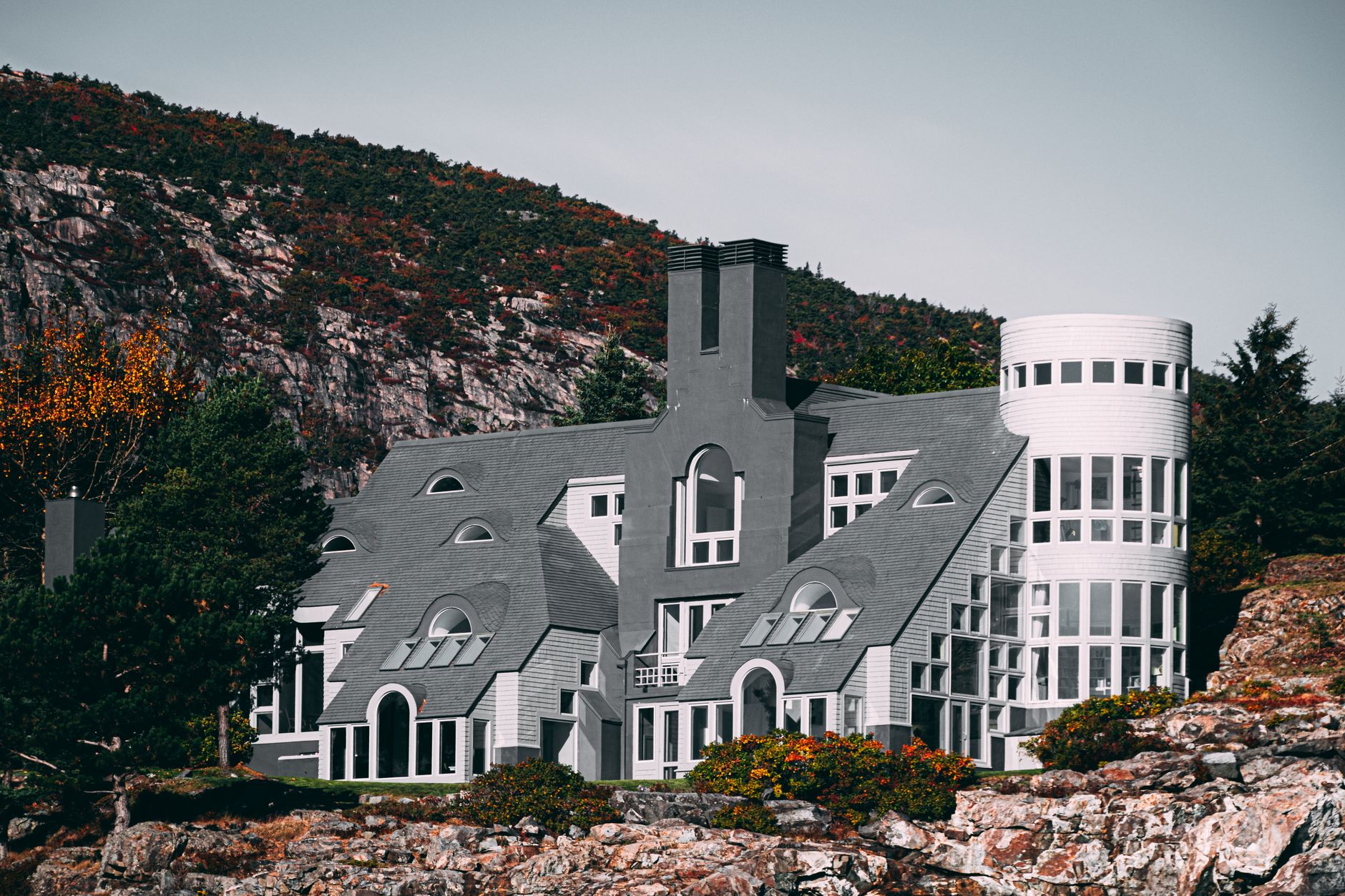
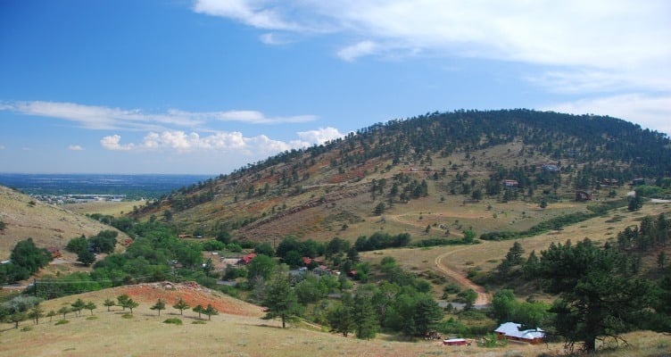
Both photographs ran with the original guide in November 2013.
Hillcrest occupies a hilltop between Whittier and Old North Boulder, where the streets curve rather than follow a grid. The neighborhood also goes by Panorama Heights.
Major street boundaries: Folsom on the east, 19th to the west, Bluff to the south and Edgewood to the north
History
This neighborhood was started in the beginning of the 1950’s, when Boulder’s population was booming and homes were expanding towards the north. Land on a hill can be difficult to divide but that did not stop the early developers from doing it. They measured out generous lots and the subdivision of Hillcrest/Panorama Heights was born.
Housing
The area includes midcentury ranch homes alongside houses that have been remodeled. Sitting up on a hill doesn't buy a blanket exemption from flood risk. The city's floodplain maps let you check a specific property address instead of guessing from elevation.
Restaurants and shopping

Alpine Ideal at 1275 Alpine Avenue is a Whole Foods Market grocery store. Downtown and Pearl Street lie downhill from Hillcrest, so the trip there is pleasant and the trip back is a real climb. Plan errands with the hill in mind.
Parks
At 2202 Glenwood Drive, Columbine Park has a playground, tennis courts and a multipurpose field. On the school side, the facilities are open to the public outside school hours. Salberg Park sits at 3045 19th Street with a playground, basketball and a shelter. There's a restroom there too, which is worth knowing before a long afternoon with kids.
Schools
Where BVSD assigns a student comes down to the residential address, not the neighborhood name. Attendance maps live in the district's K-12 School Finder, so look up the exact address before counting on any particular school.